

Today’s Forecast:
The first of many rounds of snow fell last night and will keep falling in the mountains and valleys through the morning.
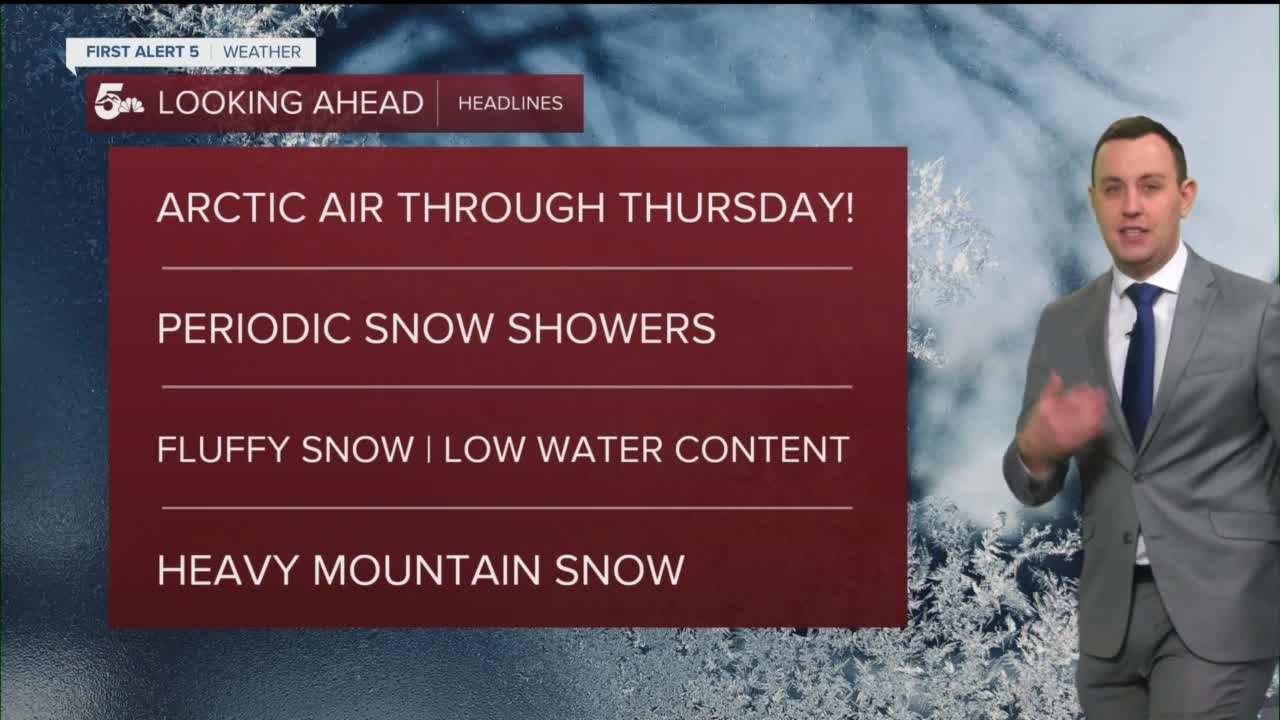
Arctic cold air moved through southern Colorado last night and we're really feeling it this morning. Temperatures in the single digits and teens will only warm about ten to 15 degrees through the afternoon.
We've got wind chills in the single digits and negatives this morning, but even colder chills are forecast tonight with widespread values in the -10 to -25 degree range #COwx pic.twitter.com/cxQvvHTEx3
— Sam Schreier (@SamASchreier) February 22, 2022
Dangerously cold air will fall into the region tonight with low temperatures in the single digits and negatives through Wednesday morning. Wind chill values tonight will dive into the deep negatives with values ranging from -10 to -25 degrees below zero.
We'll see more daytime and overnight snow with continued periods of snow Wednesday and Wednesday night. The heaviest snow over the next two days locally will fall in our mountains and valleys.

Colorado Springs forecast: High: 16; Low: -2. Cloudy and windy today with daytime temperatures in the teens but wind chills in the single digits. We saw snow showers overnight and we'll get more snow through the daytime and overnight hours. We could see another 1 to 3 inches across Colorado Springs by Wednesday morning with wind chills in the -10 to -20 degree range.
Pueblo forecast: High: 22; Low: -1. Cloudy and breezy with daytime temperatures in the teens and low 20s. Light snow fell overnight and we'll get more light snow through the afternoon and overnight hours. We could see another inch or so in Pueblo by 6 am tomorrow morning.
Canon City forecast: High: 22; Low: 4. Cloudy and breezy with more snow in the forecast through the daytime and overnight hours. We saw an inch or so across Canon City last night with a couple of places reporting more, but even more snow falls today and tonight. We could get anywhere from 3 to 5 inches of snow in Canon City through Wednesday morning. Wind chills will fall into the negatives overnight through tomorrow morning.
Woodland Park forecast: High: 23; Low: -5. Cloudy and cold today with highs in the 20s and wind chills in the single digits. We could see around 2 to 4 inches of snow from today through early Wednesday morning. Wind chill values tonight will range from -10 to -20 degrees.
Tri-Lakes forecast: High: 10s; Low: >0. Cloudy, windy, and very cold with high temperatures in the teens and daytime wind chills in the negatives. We'll see more snow showers through the day and overnight hours with around 1 to 2 inches by Wednesday morning. Wind chills tonight will be exceptionally cold with readings in the -15 to -30 degree range.
Plains forecast: High: 20s; Low: >5. Cloudy, windy, and cold today with a few daytime and overnight snow showers especially for people who live closer to I-25. We could see a dusting on the ground in western Crowley and Otero counties by Wednesday morning, but most of the snow today and tonight will fall along & west of I-25. Wind chills tonight will be dangerously cold with values between -10 to -20 degrees.
Walsenburg and Trinidad forecast: High: 20s; Low: >0. Cloudy, cold and windy today with daytime and overnight snow showers. We could see up to 1 inch of snow by Wednesday morning with heavier snow west of I-25, especially into the Wet Mountains and the Wet Mountain valley. Wind chills will fall into the negatives tonight and stay really cold through Wednesday morning.
Mountains forecast: High: 20s; Low: >0. Periods of moderate to heavy snow will fall over the mountains today and tonight with continuous morning snow through the Wet Mountains and Wet Mountain valley. Snow will be light and stackable, but the roads will still be slick and slow through tomorrow morning. We could see around 3 to 6 inches in Westcliffe by tomorrow morning with similar totals in the Wet Mountains and a few inches down by La Veta and Cuchara. Wind chills tonight will be in the negatives through tomorrow morning.
Extended outlook forecast:
We'll see more periodic snow Wednesday and Wednesday night with the heaviest accumulations along and west of I-25. Temperatures will stay really cold all day Wednesday with lows in the single digits and negatives through Thursday morning.
We should be dry on Thursday with a warming trend into the weekend.
____
Watch KOAA News5 on your time, anytime with our free streaming app available for your Roku, FireTV, AppleTV and Android TV. Just search KOAA News5, download and start watching.
