

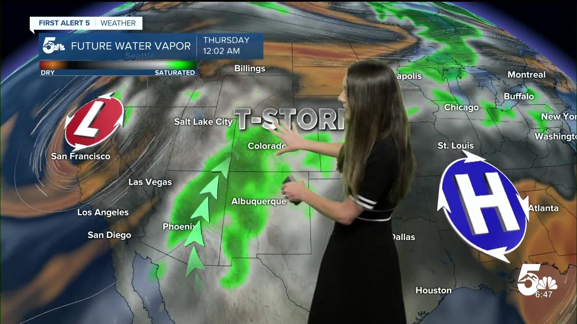


Tonight's Forecast:
Tonight, a few storms will be possible along I-25 and the eastern plains. These storms will wrap up around 11PM tonight. Clouds will stick around overnight, and lows will dip into the 40s, 50s and 60s.
Colorado Springs forecast: Low: 55; High: 81;
Colorado Springs will start the day with a few clouds and temperatures in the 50s. By the time we get around noon, temperatures will be in the upper 70s. Afternoon highs will top out in the lower 80s. Showers and storms will be a little more isolated.
Pueblo forecast: Low: 58; High: 84;
Pueblo will have some clouds remain in the morning, but there will still be some sunshine. Storms will be a little more isolated and they will pop up around 2PM. Afternoon highs will get into the mid-80s.
Canon City forecast: Low: 60; High: 80;
Canon City will have temperatures in the lower 60s Thursday morning. With that southwesterly flow bringing in that moisture, it will keep those clouds in place. There will still be some breaks where we get some sunshine. Storms will be possible in the afternoon. Highs will get into the 80s.
Woodland Park forecast: Low: 47; High: 71;
Woodland Park will have morning temperatures in the upper 40s. A few clouds will be in the area with some sunshine peaking through. The chance for showers and storms will go up in the afternoon between 2-3PM. Temperatures will drop as some of these showers move in. Highs will get into the lower 70s.
Tri-Lakes forecast: Low: 53; High: 76;
Monument and the surrounding area will have overnight lows dip into the lower 50s. These showers and storms will be a little more isolated. Afternoon highs will be in the mid-70s.
Plains forecast: Low: 60s; High: 80s & 90s;
Morning temperatures will be in the lower 60s. The eastern plains will start to have more storms in the afternoon. Highs will be a bit warmer in the 80s and 90s.
Walsenburg and Trinidad forecast: Low: 57; High: 81/83;
The southern portion of I-25 will have temperatures in the upper 50s in the morning. There will be a mix of some sun and clouds. The chance for rain will go up in the afternoon. Highs will be in the lower 80s.
Mountains forecast: Low: 40s & 50s; High: 70s;
The mountains are continuing to have that southwesterly flow increase rain chances. These rain chances will last over the next few days. Highs will be in the 70s.
Extended outlook forecast:
Looking ahead, those rain chances will remain in place. Some days will be a little more isolated than others. Temperatures will be ranging from the 60s in the higher terrain to the 80s in the lower elevated areas.
____
Curious about the First Alert 5 Weather Storm Impact Scale? Check out our cheatsheet explainer.
Watch KOAA News5 on your time, anytime with our free streaming app available for your Roku, FireTV, AppleTV and Android TV. Just search KOAA News5, download and start watching.
