

Tonight's Forecast:
Increasing clouds and breezy winds. Some light snow/rain is possible by daybreak in the Pikes Peak Region. Lows in the upper 30s.
Colorado Springs forecast: Low: 34; High: 47;
Pueblo forecast: Low: 37; High: 52;
Canon City forecast: Low: 35; High: 48;
Woodland Park forecast: Low: 24; High: 36;
Tri-Lakes forecast: Low: 20s; High: 30s;
Plains forecast: Low: 30s; High: 50s;
Walsenburg and Trinidad forecast: Low: 30s; High: 40s;
Mountains forecast: Low: 20s; High: 30s;
Extended outlook forecast:
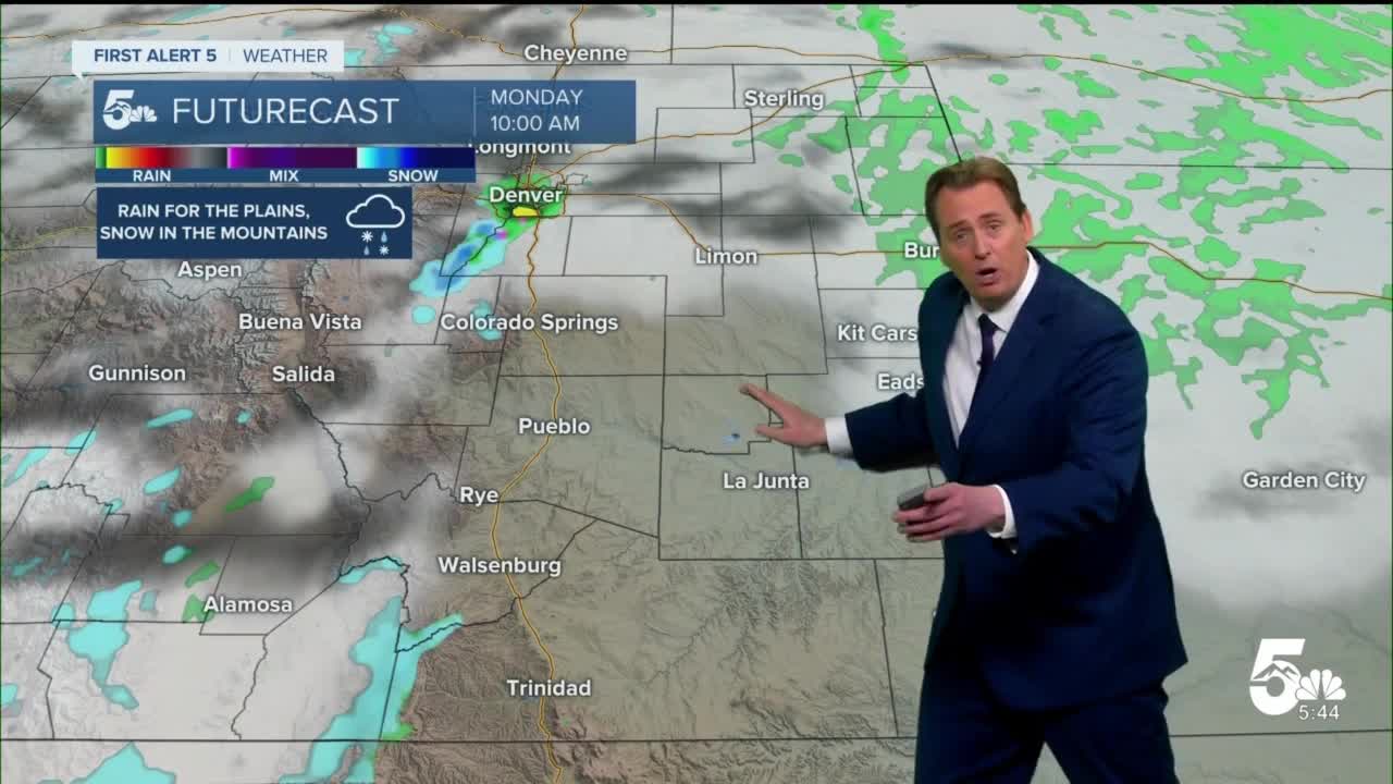
Monday will be the foreseeable bump in the road this week. 2 areas of low pressure will interact over SE Colorado. While one brings the cold front from the North, the other brings in moisture from the South. The Pikes Peak Region will see only isolated to scattered rain showers and thunderstorms, but anywhere south of Highway 50 will experience scattered rain, thunder, and even some snow in the higher elevations. Accumulation will be minimal, but the mountains above 9k ft. will see up to an additional 6-12" of new snow.
On Tuesday, the storm system clear on out and we'll be left with mostly clear skies and breezy and cool north winds. As we work our way though the work week, our temps will slowly climb back into the upper 70s by Thursday.
____
Curious about the First Alert 5 Weather Storm Impact Scale? Check out our cheatsheet explainer.
Watch KOAA News5 on your time, anytime with our free streaming app available for your Roku, FireTV, AppleTV and Android TV. Just search KOAA News5, download and start watching.
