

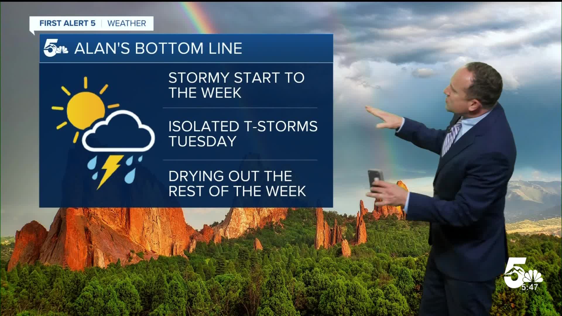

Today’s Forecast:
An active monsoon plume of moisture will keep much of the Four Corners Region stormy today, with Flood Watches in effect for parts of Arizona, Utah and Colorado. Closer to home, we are not included in today's Flood Watches, but we are still expecting rain and scattered thunderstorms this afternoon and evening. Thunderstorms will increase after 2-3 pm, and as storms spread east of the mountains and I-25, large hail and gusty winds will be possible.
Temperatures today will be pretty similar to yesterday and near average for this time of the year. Highs will warm into the 80s and lower 90s on the Plains, with mostly 70s in the mountains and mountain valleys.
Colorado Springs forecast: High: 83; Low: 56. The start of the work week will be our best chance for rain in the Pikes Peak Region, with a chance for thunderstorms towards the late afternoon and evening hours.
Pueblo forecast: High: 89; Low: 60. We'll see similar temperatures to Sunday, with dry skies this morning giving way to scattered thunderstorms this afternoon and evening.
Canon City forecast: High: 86; Low: 62. Dry skies and mild temperatures this morning will give way to a warm and stormy afternoon in eastern Fremont County. Scattered thunderstorms will be possible anytime after 3-4 pm.
Woodland Park forecast: High: 75; Low: 50. After a cool down this past weekend, highs will remain in the 70s this afternoon, with stormy skies anytime after 1-2 pm.
Tri-Lakes forecast: High: 70s/80s; Low: 50s. Mostly cloudy and still warm, with scattered thunderstorms this afternoon and this evening.
Plains forecast: High: 80s/90s; Low: 60s. Dry skies and calm conditions this morning will give way to thunderstorms late this afternoon and evening. Storms today will be capable of 1" hail and 60 mph wind gusts, as well as frequent lighting and periods of heavy rain.
Walsenburg and Trinidad forecast: High: 80s/90s; Low: 50s/60s. Dry skies and calm weather this morning will give way to scattered thunderstorms and periods of rain this afternoon and evening. Anytime after 2-3 pm will be fair game for a passing thunderstorm.
Mountains forecast: High: 60s/70s; Low: 40s/50s. Storms should hold off this morning in the mountains before increasing from southwest to northeast this afternoon. Storms will be capable of heavy rain, frequent lightning, small hail and gusty winds. The greatest risk of flooding today will along and west of the Continental Divide.
Extended outlook forecast:
By Tuesday, we will begin to dry out, with fewer showers and storms for the Pikes Peak Region and Southern Colorado. Our highs will be slightly warmer than today, topping out in the middle 80s.
From Wednesday into Friday, our forecast will dry out and heat up. Daily highs will warm into the upper 80s to near 90 degrees, with overnight lows in the upper 50s. The potential for rain will increase again this weekend, but for now, looks to favor the mountains and mountain valleys.
____
Curious about the First Alert 5 Weather Storm Impact Scale? Check out our cheatsheet explainer.
Watch KOAA News5 on your time, anytime with our free streaming app available for your Roku, FireTV, AppleTV and Android TV. Just search KOAA News5, download and start watching.
