

Tonight's Forecast:
Temperatures will continue to dip and eventually reach the teens. Any kids headed to the bus stop or anyone going to work in the morning will want that jacket. Snow will also wrap up, and clouds will continue to clear.
Colorado Springs forecast: Low: 13; High: 48;
Colorado Springs will begin the warm up tomorrow, but these temperatures will still be chilly. Highs will be in the upper 40s. Winds will be significantly calmer between 5 and 10mph. Winds will also be coming out of the south which will feel much nicer than the northerly wind we had on Sunday.
Pueblo forecast: Low: 14; High: 52;
Pueblo's morning temperatures will be in the teens as well as the surrounding areas. There will be a little bit more sunshine and winds will be much calmer. Highs will push back into the lower 50s by tomorrow afternoon.
Canon City forecast: Low: 19; High: 52;
Canon City will wake up to temperatures in the upper teens. Clouds will continue to clear out overnight, and during the day on Monday. Afternoon highs will be much warmer in the lower 50s. Winds will switch out of the south at 5 to 10mph.
Woodland Park forecast: Low: 10; High: 46;
Tomorrow morning temperatures will be in the teens and winds will become lighter overnight. Skies will remain mostly clear during the day, and highs in the afternoon will get into the mid-40s. The noticeable warm up will happen on Tuesday.
Tri-Lakes forecast: Low: 10; High: 48;
Monument and the surrounding areas will have temperatures reach the teens overnight and into tomorrow morning. Temperatures will be in the 40s in the afternoon.
Plains forecast: Low: Teens; High: 40s & 50s;
The Plains will have winds calm overnight, and will remain calm during the day on Monday. Skies will also start to clear out and the warm up will arrive, Temperatures will be in the 40s and 50s in the afternoon. Winds will switch out of the south between 5-15mph.
Walsenburg and Trinidad forecast: Low: 14/12; High: 53/56;
The southern I-25 corridor will have snow continue to clear out, but with cold temperatures settling in overnight there will still be a few slick spots. The afternoon will be much warmer than Sunday with highs reaching the 50s.
Mountains forecast: Low: 20s; High: 50s;
The mountains will actually have some of the "warmer" temperatures overnight with lows in the 20s. It will still be cold overnight and during the morning. Afternoon highs will make it into the 50s.
Extended outlook forecast:
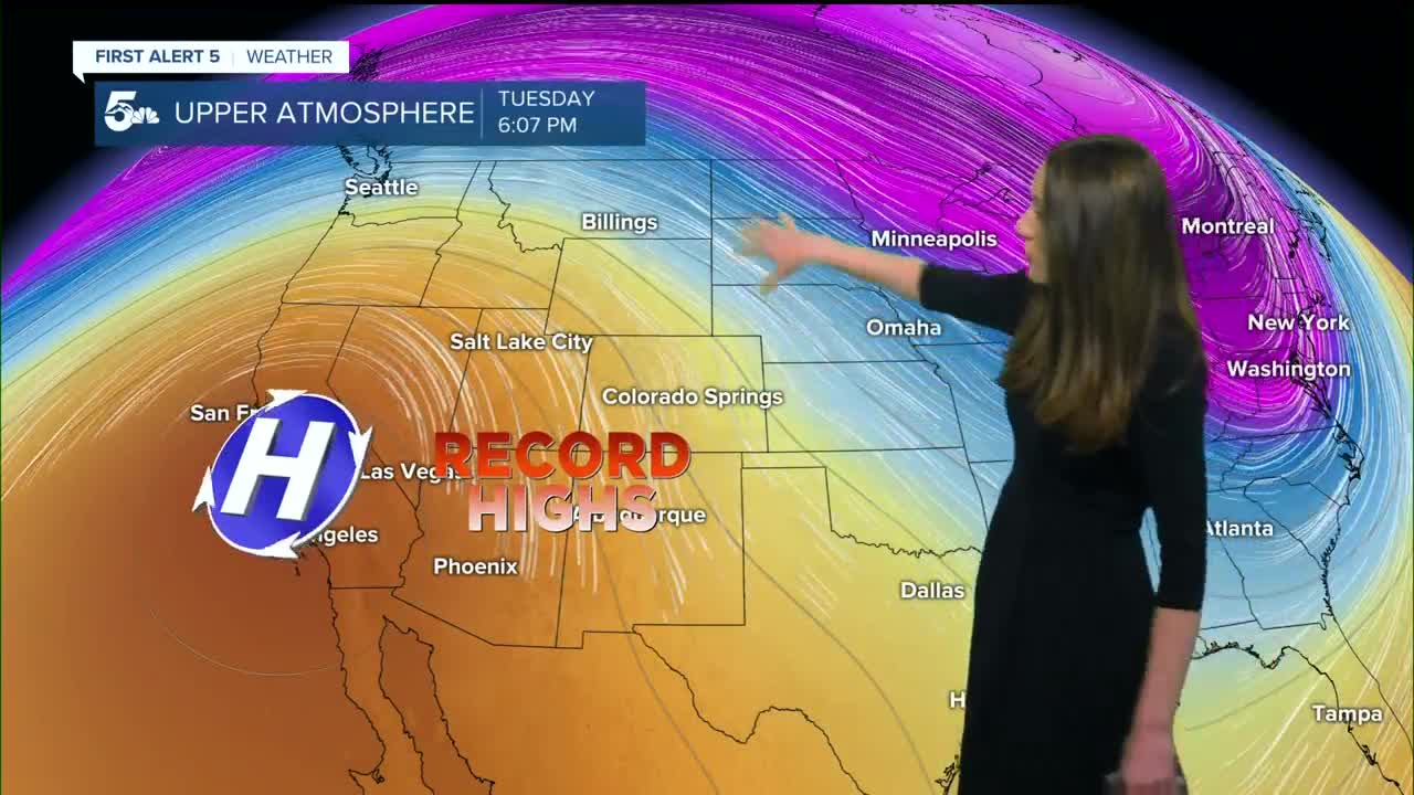
Time to break out the short sleeves and sunblock because a heat wave will arrive by the middle of the week. There will be a possibility to break records each day this week, but it looks likely towards the end of the week. Afternoon highs will get into the 80s, and places along the Arkansas River have a chance of breaking into the 90s. This is very much out of the ordinary for this time of year and average highs are in the 50s.
____
Curious about the First Alert 5 Weather Storm Impact Scale? Check out our cheatsheet explainer.
Watch KOAA News5 on your time, anytime with our free streaming app available for your Roku, FireTV, AppleTV and Android TV. Just search KOAA News5, download and start watching.
