

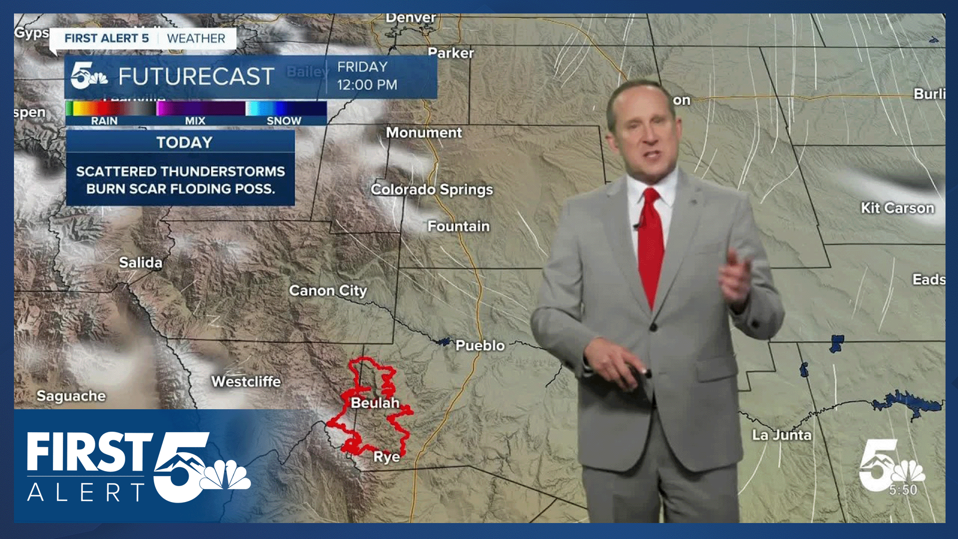

Today’s Forecast:
As a cold front marches southward across the state this morning, temperatures will cool this afternoon by around 5-10 degrees. Our high in Colorado Springs will top out at 85 degrees, putting us close to the average high of 86 degrees.
Behind the front, we'll see better upslope flow develop. This will help develop thunderstorms farther west into the mountains today compared to what we saw on Thursday. Storms could be stronger, capable of heavy downpours, frequent lightning, gusty winds and small hail.
With the threat of heavy rainfall and multiple rounds of rain and thunderstorms today in the Aspen Acres burn scar, the entire fire zone has been placed under a Flash Flood Watch from noon to 11 pm. Narrowing that down, I see the biggest threats for flooding from the mid afternoon hours to early this evening. Areas around Beulah, San Isabel, and Highways 165 and 78 will need to be watched very closely.
Colorado Springs forecast: High: 86; Low: 57. Low end threats for severe weather will return to the Pikes Peak Region this afternoon, with storm threats including 1" hail and gusty outflow winds. Our forecast looks most active today between 2-5 pm, with additional showers possible this evening from 7-10 pm.
Pueblo forecast: High: 92; Low: 61. Dry and mild weather this morning will give way to increasing clouds and scattered thunderstorms this afternoon. Storms will be strongest today near the mountains and higher terrain.
Canon City forecast: High: 90; Low: 63. Mostly sunny skies will turn mostly cloudy and stormy this afternoon, with multiple rounds of thunderstorms in our forecast today and this evening.
Woodland Park forecast: High: 76; Low: 49. There's some relief ahead this afternoon after a couple of hotter days earlier this week. Highs today will warm into the mid 70s, with scattered showers and thunderstorms developing as early as 12-2 pm.
Tri-Lakes forecast: High: 80s; Low: 50s. Cooler on Friday, with more numerous thunderstorms today compared to what we saw on Thursday. Additional storms will be possible this evening across the Pikes Peak Region.
Plains forecast: High: 90s; Low: 60s. After some early morning thunderstorms in Las Animas and Baca counties, we'll see the potential for scattered thunderstorms this afternoon and evening, with the best chances for rain today near I-25. Farther east, storms are not likely to form.
Walsenburg and Trinidad forecast: High: 80s/90s; Low: 50s/60s. Morning thunderstorms have rumbled across parts of Las Animas and Huerfano counties this morning. We should see a break from the storms after 8-9, followed by additional thunderstorms this afternoon and evening.
Mountains forecast: High: 40s; Low: 20s. A Flash Flood Watch has been issued today for the Aspen Acres burn scar, in effect from noon to 11 pm. Debris flows, and flooding of creeks and streams will be possible in the burn scar area.
Extended outlook forecast:
As high pressure builds into Arizona on Saturday, a drier northwest flow pattern will set up over the state. Lingering moisture over the San Luis Valley and southern mountain regions could trigger a few isolated showers Saturday afternoon. Closer to home, we are not expecting any rain this weekend. Highs in Colorado Springs will warm into the upper 80s on Saturday and lower 90s on Sunday. Highs in Pueblo and the SE Plains could top 100 degrees by Sunday.
Our next mini heat wave will peak next Monday, with our high of 98 degrees expected to threaten the daily record for August 3rd of 99 degrees, last set in 1954. Once again, highs on the Plains will warm into the triple digits next Monday.
A cold front that follows on Tuesday will offer some relief to the heat, along with a daily chance for thunderstorms.
____
Curious about the First Alert 5 Weather Storm Impact Scale? Check out our cheatsheet explainer.
Watch KOAA News5 on your time, anytime with our free streaming app available for your Roku, FireTV, AppleTV and Android TV. Just search KOAA News5, download and start watching.
