

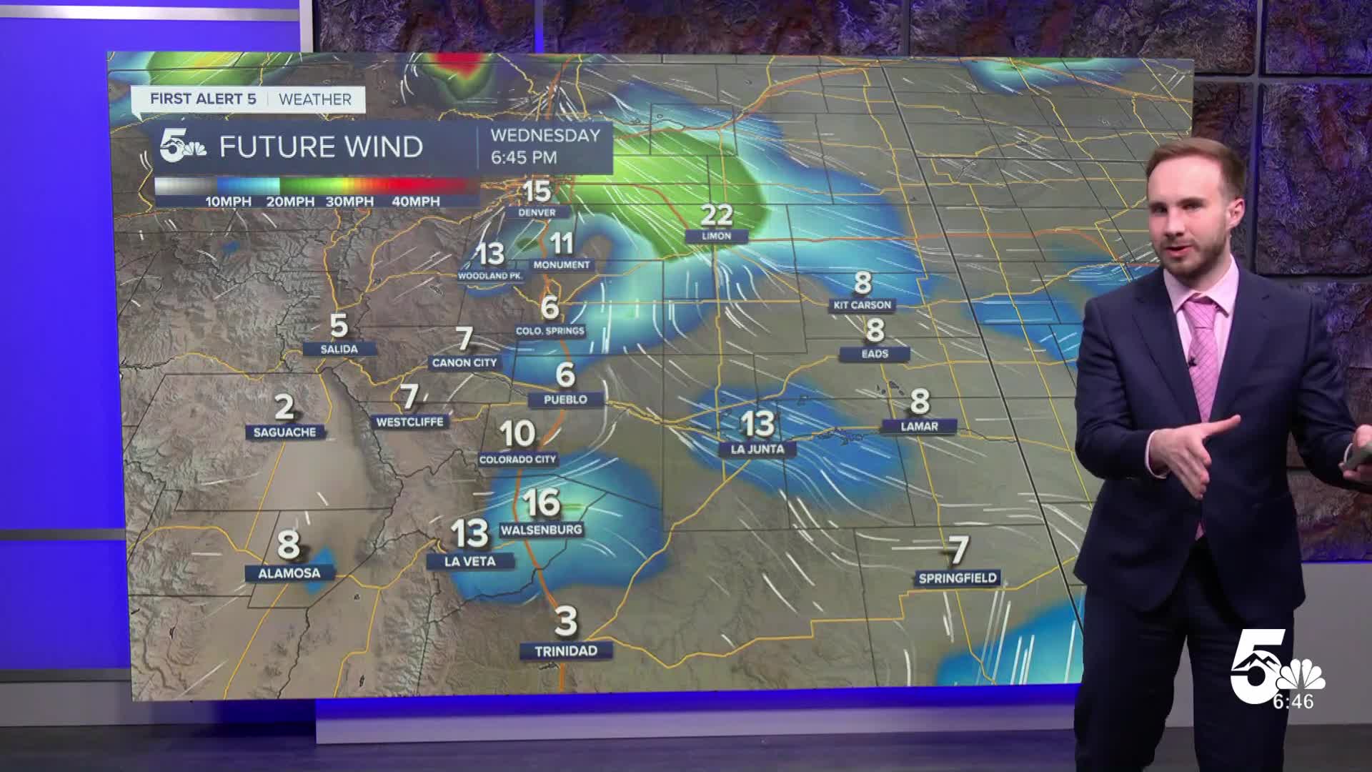

Tonight's Forecast: Skies stay clear and quiet across Southern Colorado tonight as high pressure builds in between storm systems. Breezy afternoon winds will calm down after sunset. Overnight lows will drop into the upper 20s and low 30s across the plains and lower elevations, with the mid-20s in Teller County.
Tomorrow's Forecast: Thursday brings another dry and mild day across the region, with high temperatures reaching the mid-to-upper 50s along the I-25 corridor and 50 degrees in the mountains. Expect sunshine early before clouds gradually increase during the afternoon. Southerly breezes will pick up over the plains and the San Luis Valley, though gusts will stay noticeably lighter than today.
Colorado Springs forecast: Low: 29; High: 55; Skies stay clear overnight with light winds and lows dropping into the upper 20s. Thursday will be mild and pleasant with afternoon highs reaching the mid-50s. Clouds will gradually build through the afternoon with light westerly breezes.
Pueblo forecast: Low: 29; High: 55; Clear and quiet conditions hold overnight with temperatures dipping into the upper 20s. Thursday brings mild afternoon weather with highs reaching the mid-50s. Morning sunshine will give way to increasing afternoon clouds and light winds.
Canon City forecast: Low: 33; High: 57; Expect a calm, clear night with lows falling into the low 30s. Thursday will be mild and dry with afternoon temperatures climbing into the upper 50s. Clouds will increase through the afternoon alongside light westerly winds.
Woodland Park forecast: Low: 25; High: 50; Skies remain clear overnight in Teller County with chilly lows dipping into the mid-20s. Thursday will be quiet and mild with afternoon highs reaching 50 degrees. Clouds will build late in the day ahead of an approaching mountain snow system.
Extended Forecast: A new storm system brings strong winds and mountain snow to end the workweek, followed by a cooler, quieter start to next week.
Friday – Saturday: Snow spreads into the Continental Divide Thursday night into early Saturday, with the heaviest totals of 2 to 6 inches expected in the San Juan Mountains. Strong southwest winds will gust 35 to 40 mph across the plains on Friday, with highs reaching the mid-50s to 60 degrees along I-25 and the mid-40s in Teller County. A cold front pushes through Friday night into Saturday, dropping highs into the upper 30s and low 40s with scattered rain and snow showers over the Palmer Divide and Pikes Peak area.
Sunday – Monday: The storm system pushes east on Sunday, leaving cool, quiet conditions with highs in the low 40s before milder weather returns on Monday.
Tuesday – Next Week: Forecast trends point toward another incoming storm system bringing renewed chances for mountain snow next week.
____
Curious about the First Alert 5 Weather Storm Impact Scale? Check out our cheatsheet explainer.
Watch KOAA News5 on your time, anytime with our free streaming app available for your Roku, FireTV, AppleTV and Android TV. Just search KOAA News5, download and start watching.
