



Today’s Forecast:
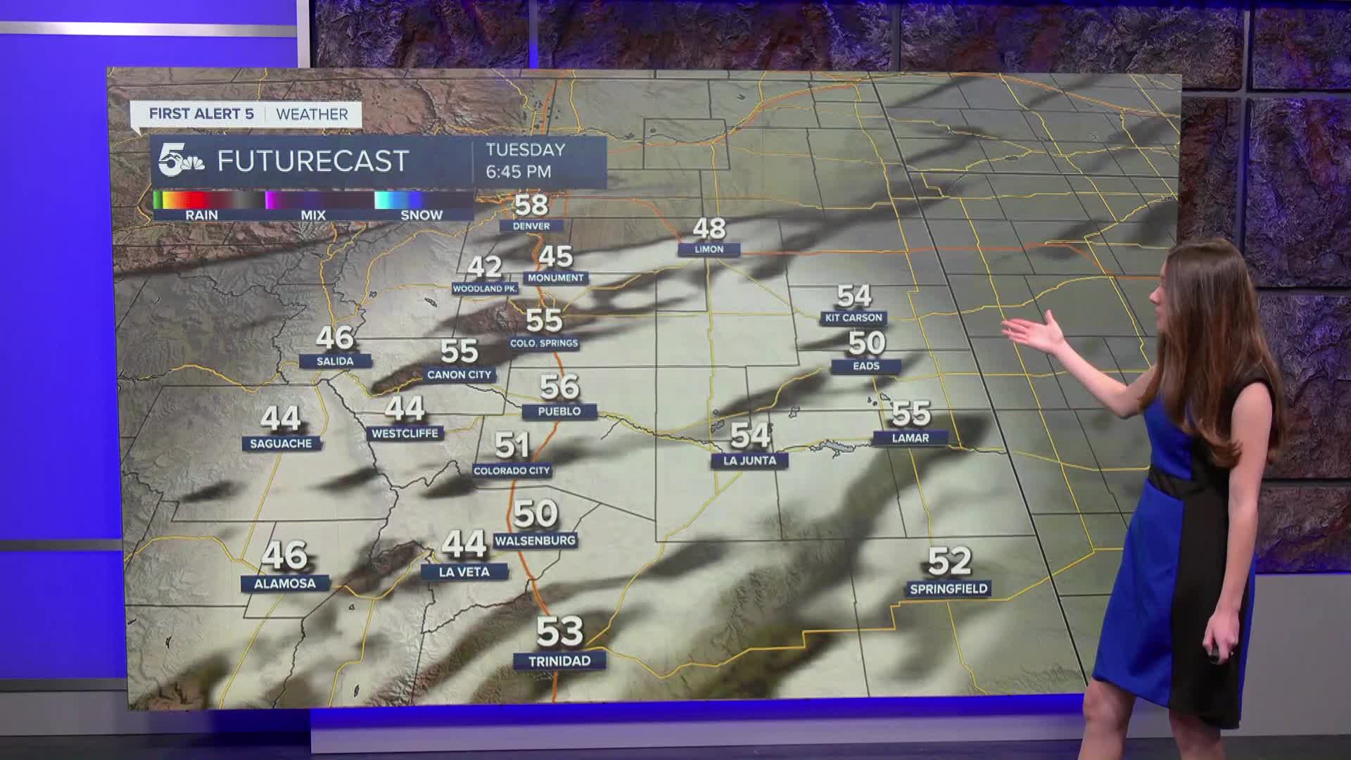
We are still tracking above average temperatures today with highs reaching the 60s and 70s. A cool front will push through southern Colorado and will bring some upper level cloud cover. There will still be some sunshine punching through that cloud layer.
Colorado Springs forecast: High: 68; Low: 36.
Colorado Springs is starting the day with temperatures in the 30s. By 8AM temperatures will warm into the 40s. A cool front will move through and bring some upper-level cloud cover to the area. There will still be some sunshine, and afternoon temperatures will make it into the upper 60s. Cooler temperatures from this front will arrive on Wednesday.
Pueblo forecast: High: 69; Low: 37.
Pueblo has lows this morning close to freezing. There will still be a significant warm up despite the front moving through. Some clouds will spread across Pueblo county and parts of I-25 throughout the afternoon. Highs will reach the upper 60s.
Canon City forecast: High: 71; Low: 40.
Canon City will have lows this morning in the 40s. As the sun rises, temperatures will get into the lower 70s this afternoon. There will be some upper-level clouds that move in from a cool front pushing through Fremont county later this afternoon. There won't be any moisture from this front and temperatures will drop on Wednesday.
Woodland Park forecast: High: 60; Low: 29.
Woodland Park has chilly temperatures this morning sitting in the lower 30s. The day will start off sunny and later in the day a cool front will bring in some upper level clouds. We will still see some sunshine despite the increased cloud cover. Afternoon highs will still be unseasonably warm in the 60s.
Tri-Lakes forecast: High: 65; Low: 32.
Monument and the surrounding areas have temperatures this morning in the 30s. The feels-like temperatures are a few degrees cooler. The afternoon will be nice with highs getting into the mid-60s. Veteran's Day will be a few degrees cooler behind this cool front.
Plains forecast: High: 60s; Low: 30s.
The eastern plains has clear conditions this morning and temperatures in the 30s. There will be another big warm up today with highs getting into the 60s. There will also be some clouds that move in during the afternoon from this front moving through. We won't experience cooler temperatures until we get into Wednesday.
Walsenburg and Trinidad forecast: High: 67/70; Low: 36.
The southern portion of I-25 is waking up to temperatures this morning in the 30s. The feels-like temperatures are a few degrees cooler. Once the sun rises those clear conditions will continue until we get to the afternoon. Once that front pushes through, there will be some upper-level clouds. Afternoon highs will reach the upper 60s and lower 70s.
Mountains forecast: High: 50S & 60s; Low: 20s & 30s.
The mountains will have clear conditions to start off the day. There will be some upper-level cloud cover that moves in once we get into the afternoon. There will still be some sunshine and these clouds will clear out overnight and into Wednesday. Temperatures today will get into the 50s and 60s.
Extended outlook forecast:
Looking ahead, temperatures will be slightly cooler on Wednesday behind this cool front. There will be a gradual increase in temperatures throughout the rest of the week. The next potential pattern change won't arrive until the weekend and mainly into next week.
____
Curious about the First Alert 5 Weather Storm Impact Scale? Check out our cheatsheet explainer.
Watch KOAA News5 on your time, anytime with our free streaming app available for your Roku, FireTV, AppleTV and Android TV. Just search KOAA News5, download and start watching.
