

Tonight's Forecast:
Tonight, a cold front will continue to push in from the north and bring in the cold air behind it. This means morning temperatures will be a few degrees cooler than this morning. As this front passes through, don't be surprised if winds do pick up. There will still be a few clouds that remain as well.
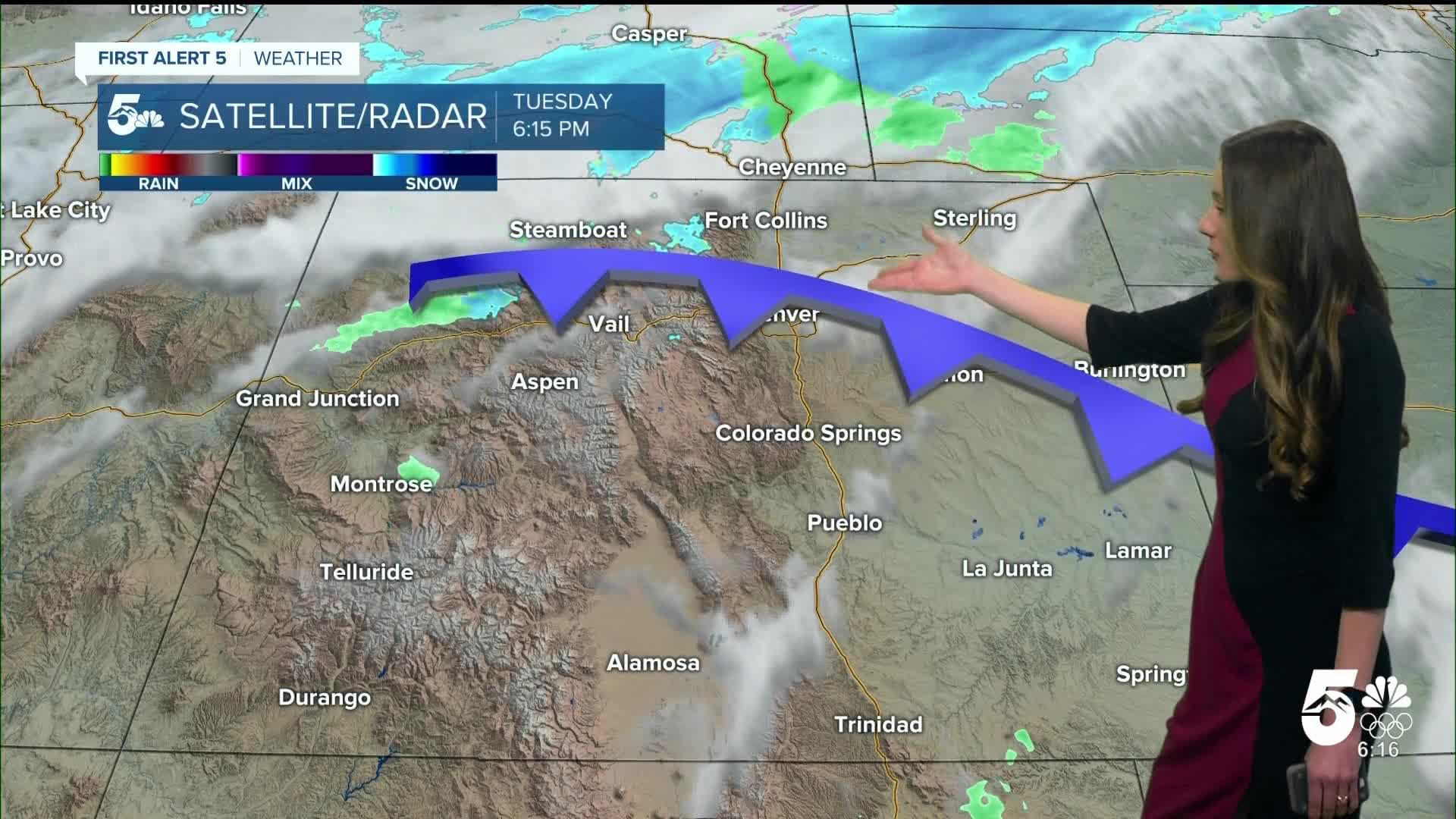
Colorado Springs forecast: Low: 30; High: 50;
The Springs will have morning temperatures in the 30s and mostly clear conditions. You will notice much cooler temperatures throughout the day, so grab the jacket out of the closet again. Highs will only make it into the lower 50s.
Pueblo forecast: Low: 34; High: 55;
For the early morning hours on Wednesday, temperatures will be in the mid-to-lower 30s. There will be a few clouds during the morning, but will slowly exit the area by the time we get into the afternoon. Afternoon highs will be in the mid-50s.
Canon City forecast: Low: 34; High: 55;
Canon City will get a little relief tomorrow from the fire danger risk, but conditions will still be dry. Afternoon temperatures will be in the mid-50s, so much cooler than Tuesday's temperatures. Skies will clear out for the area as well.
Woodland Park forecast: Low: 27; High: 45;
Woodland Park will have morning temperatures a touch cooler than everyone else in the upper 20s. Clouds will clear, and even though there will be more sunshine highs will only make it into the mid-40s.
Tri-Lakes forecast: Low: 29; High: 50;
Monument and the surrounding area will be in the upper 20s. Some very light precipitation is possible overnight, but this will clear by the morning. Highs in the afternoon will be in the lower 50s.
Plains forecast: Low: 30s; High: 50s;
The eastern plains will be nice and calm, but with some cooler temperatures will arrive. Highs throughout the area will be in the 50s. More change is on the way because by Thursday, highs will be back in the 70s.
Walsenburg and Trinidad forecast: Low: 32/30; High: 54/57;
The southern I-25 corridor will be one of the last areas to have this cold front swing through, and temperatures will drop behind this. Morning temperatures will be a few degrees cooler than Tuesday as well as afternoon temperatures.
Mountains forecast: Low: 20s & 30s; High: 50s & 60s;
The central mountains will have some light snow showers, but die off overnight. Morning temperatures will be in the 20s and 30s. Afternoon temperatures will be in the 50s and 60s. Skies will also continue to clear out.
Extended outlook forecast:
Beyond Wednesday, temperatures will heat right back up. Highs will be back in the 70s and this will last into the weekend. There is a possibility to break records on Saturday. We are tracking another cold front Saturday evening, and this has the chance to bring some showers to the Palmer Divide area. Models have been trending drier with this. Temperatures will dramatically drop again on Sunday.
____
Curious about the First Alert 5 Weather Storm Impact Scale? Check out our cheatsheet explainer.
Watch KOAA News5 on your time, anytime with our free streaming app available for your Roku, FireTV, AppleTV and Android TV. Just search KOAA News5, download and start watching.
