

Snow lovers get ready, snow returns to Colorado this weekend!
Two waves are expected to roll through Colorado from Friday through Saturday. The first waves comes Friday morning to the high country, primarily to the central and northern mountains.
Below is a model estimation of snowfall from Friday morning through the afternoon.
Most accumulation will fall at elevations at or over 9,000 feet with difficult driving expected Friday morning through lunch. A few stray showers and flurries could make it to the Front Range, but most of Friday's snow will fall out west.
The second and larger snowfall will occur late Saturday night through Sunday. Colder air and a stronger trough pushing more energy through Colorado will lead to higher snow totals across the central and northern mountains, with a few flurries wandering into Teller County by Sunday morning.
Below are snow estimations for whatever falls on Friday through Sunday.
If you're out driving in the mountains Sunday, expect very slick and at times, dangerous, conditions on the road from Sunday morning through the mid afternoon. The best plan would be to get to the high country on Saturday and leave late Sunday after the roads have been scraped off.
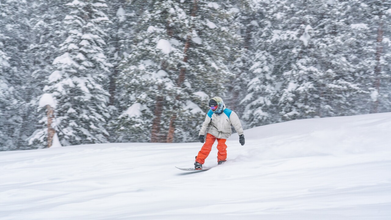
Remember that both Keystone and Arapahoe Basin have opened for the ski season. The best powder day will be on Sunday, so get out there and shred those slopes!
