


On March 13th, 2019, a historic bomb cyclone slammed into Colorado. Schools were closed, weather records were broken, and thousands were left stranded by this storm.
Let's look back, explore this storm, and determine if it could happen again.
What were the impacts of this storm?
Around 1,400 flights at DIA were canceled with virtually no planes flying in or out of the airport on Wednesday. 5,000 passengers spent the night at DIA due to cancellations.
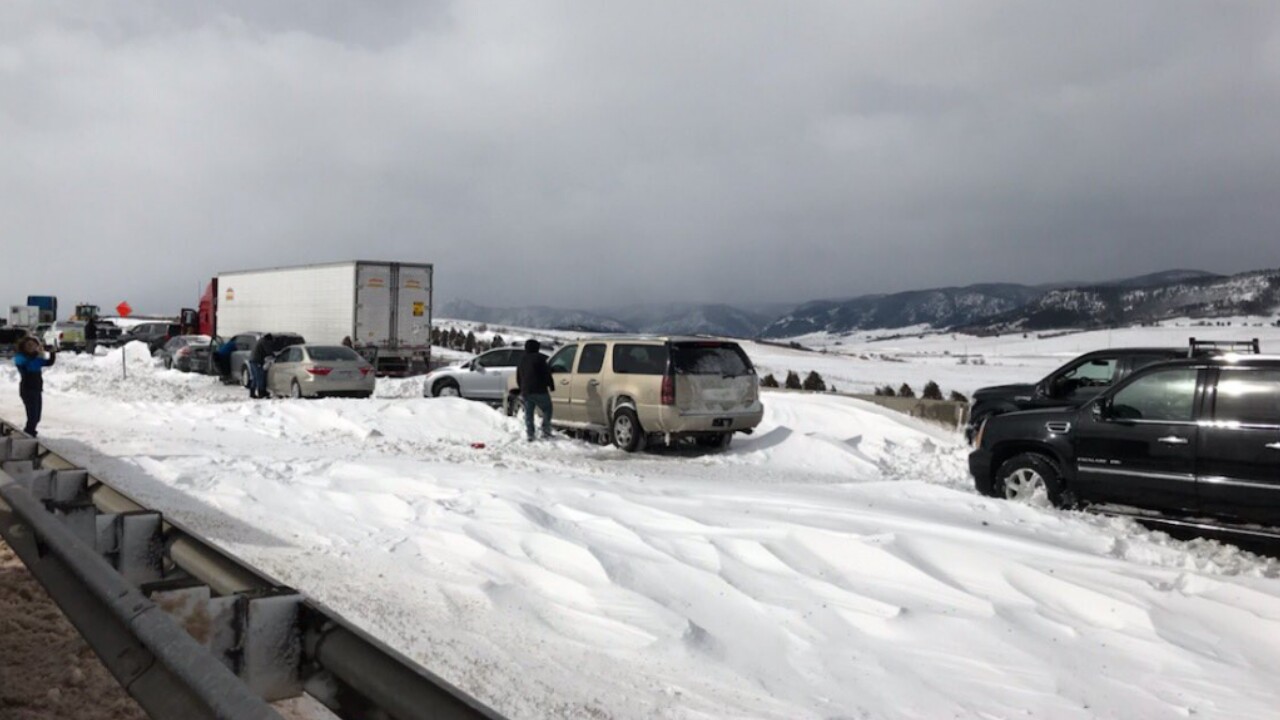
Several major highways and interstates were closed as the storm intensified.
I-25 closed from Colorado Springs to Denver, as well as Denver to the Wyoming border. Both I-76 and I-70 closed east to the Nebraska and Kansas borders from Denver.
Multiple car accidents occurred and with many people becoming stranded in their cars as the storm raged on. 1,500 people were stranded over northern El Paso county alone.
The Colorado National Guard was activated to aid search and rescue operations which numbered over 100.

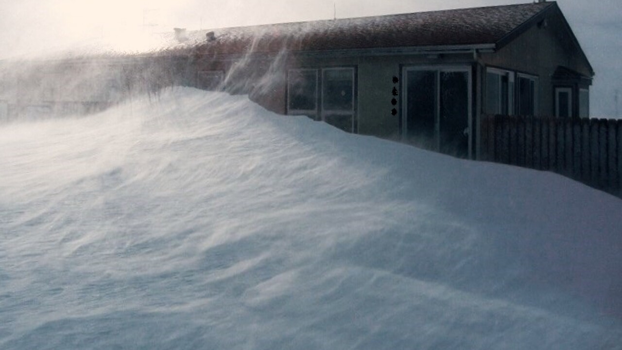
Trees and power poles were blown down with over 445,000 people losing power during the storm. Numerous schools and business were closed on Wednesday and several remained closed through Thursday.
One fatality occurred due to a state trooper being killed along I-76 northeast of Denver.
What exactly is a bomb cyclone?
#GOESEast captured the full path of the #BombCyclone exhibiting a rare and extremely rapid rate of intensification on the East Coast with some of the coldest wind chills of the season and near zero visibility in the snow bands @NWS. #Blizzard2018 More: https://t.co/mbgRYot60A pic.twitter.com/GKlFTaLJBI
— NOAA Satellites (@NOAASatellites) January 4, 2018
A bomb cyclone is simply the rapid deepening of a low pressure system by 24 millibars in 24 hours.
How did Colorado form a bomb cyclone?
The complicated explanation: lee cyclogenesis, baroclinic cyclogenesis, and two troughs merging together interacting to make the strongest low pressure system in Colorado history.
The simple explanation: an area of temperature change next to a mountain range interacted with upper atmosphere energy to create a powerful storm.
When an upper level low pressure system moved off the mountains into the plains, it was able to spin and deepen quickly as it stretched down to the ground.
This storm started to deepen and intensify over an area of temperature change, which only made it stronger.
The final ingredient that pushed this storm into becoming a bomb cyclone was two areas of low pressure up in the sky merging together.
As this storm grew and became a bomb cyclone, it was able to generate damaging winds and throw repetitive bands of rain and snow along the mountains and plains.
Wind gusts were reported in the 80 to 100 mph range in El Paso County, with multiple feet of snow falling through the mountains.
Could it happen again?

Yes it could, but probably not to the extremes as the March 13th storm.
Lee cyclones, or low pressure systems that develop just east of the Rockies, are actually very common in Colorado. What wasn't common was this storm deepening to a pressure level of 970.4 millibars.
It's impossible to say for certain whether this will or won't happen again, especially when you consider the effects on climate change over Colorado. What we do know for sure, is these storms tend to be easy to track and forecast more than 24 hours out.
We have an experienced team at KOAA 5 and will always be here to keep you informed and safe, no matter how big a storm Mother Nature wants to throw at us.
