
WALSENBURG – The National Weather Service has issued flash flood warnings ahead of possible thunderstorms that could drop heavy rain over the Spring Fire burn scar in Huerfano and Costilla Counties.
The First Alert 5 weather team expects rain to begin in the mid-morning and intensify over the afternoon hours. Our meteorologists expect the storms to be widespread across the southern mountains.
Flash flood warnings are in effect until 9 p.m. for parts of Fremont, Pueblo and Las Animas Counties as well, primarily along the Wet and Sangre de Cristo mountain ranges.
Communities east of the burn scar like Walsenburg and La Veta have been preparing for devastating flooding since the fire was contained last fall.
Walsenburg has installed a flood siren and has held community meetings in anticipation of a 100-year flood expected in the city within the next 6 years.
A flood event like that could damage as many as 670 homes in Walsenburg. San Isabel Electric is also warning customers that power outages are possible if a flood knocks over power poles and lines.
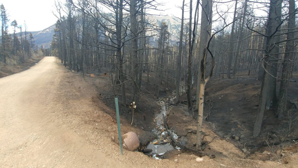
Experts say the wildfire burned so hot, that much of the soil will actually repel water instead of absorbing it, which makes a devastating flood more likely in the coming years.
In La Veta, much of the town could be exposed to devastating floods. More than 70% of the forested area above La Veta was scorched in the fire. Residents will be advised to evacuate ahead of severe flooding that threatens most of the town.
News5’s Bill Folsom and Carl Winder will be in La Veta this afternoon and they will have full coverage of the flood threat on News5 at 5:00 and 6:00.
